Day Thirteen
The decision to stay yesterday in Safford (with a side trip to Tucson) and reset paid off mightily.
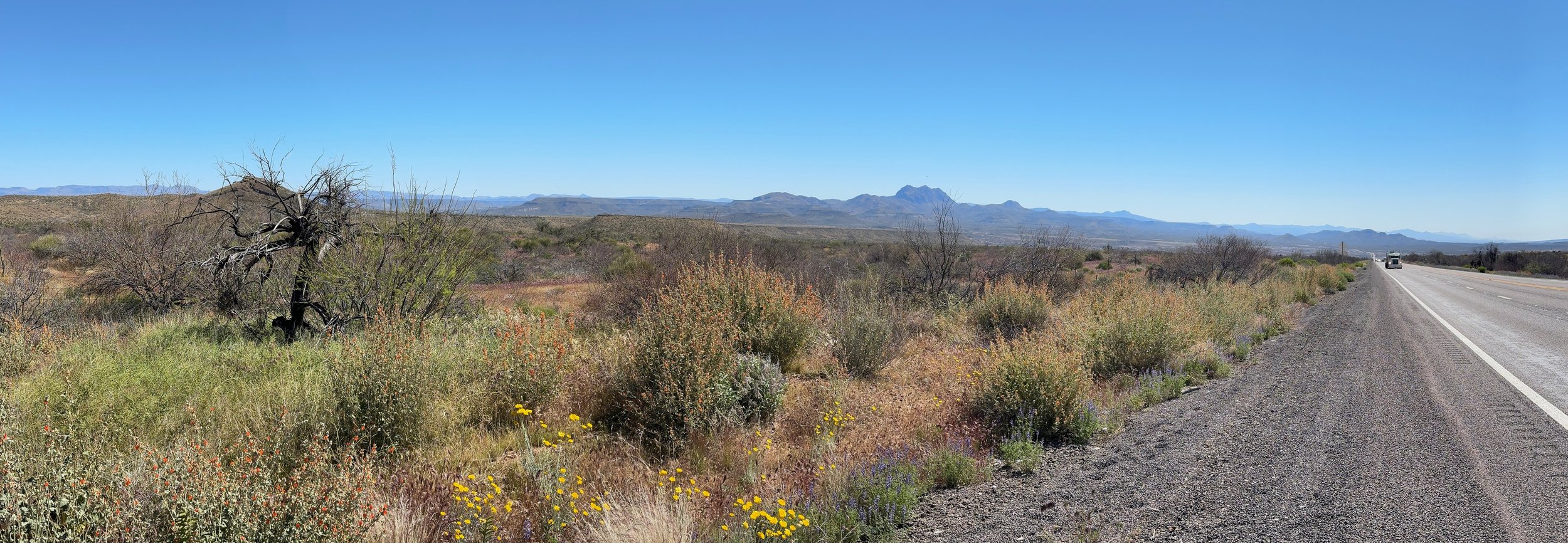
I was on the road at 6:36 am, in the morning cool and calm, with little traffic. Heading east on US 70 out of Safford, I passed well-ordered farmsteads with fields plowed and probably planted, though not much was popping up yet. I didn't see big irrigation systems, so I wonder how water is applied here. About seven miles east of town, agriculture gave way once again to open to the familiar desert landscape.
T
“Go slow to go fast” strategy
The road began to rise steadily and I settled into a patient climb of about 1,500 feet elevation, holding an aerobic heart rate of about 115 bpm. This is my go-all day strategy and it seems to be working. I'd like to go faster but it would come at the cost of farther. Eventually I'll have the fitness to push faster without fearing a late-day bonk, and the inevitable can't/won't get out of bed the next day. DOMS (delayed onset muscle soreness) is a real thing with older athletes, maybe all athletes, and it's just awful to try to push through. For this long ride it's better to avoid DOMS with every clever trick I know.
The bike is working fine again, though the gear indexing is a little off so I'll have to fine tune my derailleur cable, when the bags are off and I can reach the tension knob. No flats! A wind builds off my right shoulder, a bit from behind, but not enough behind to give me much of a push. But the side wind keeps me cooler as the heat of the day builds. The pavement, even the shoulder, on US 70 is cleaner than any road I have ridden. Throughout the day, many oversized load trucks pass the other way. This may be the alternate route that avoids interstate freeway overpasses with loads too tall to clear them.
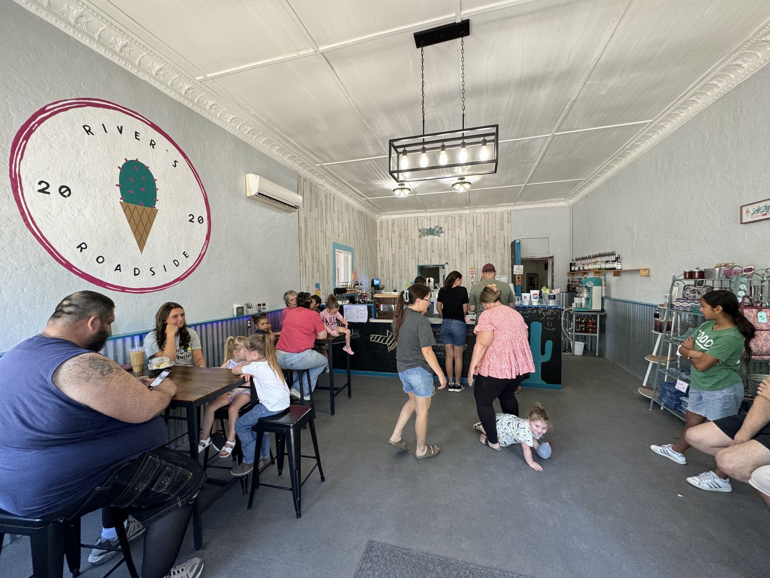
A about 30 miles I crest the top of the long hill I've been climbing and it's a five-mile descent to the town of Duncan, situated in a valley bottom that is another agricultural oasis. The town is pretty lively, with a Saturday market and lots of families in the local ice cream shop.
This is where I enjoyed lunch, not ice cream, but a "Sonoran Chili Dog". What makes a chili dog "Sonoran"? Bacon, I'm told. Didn't see that coming, but it was a good, high calorie lunch that set me up for the second half of the ride.
Out of the valley and back to scrub land. About 7 miles west I crossed the state line into New Mexico and Mountain Daylight Time. Arizona is also Mountain Time, but most of Arizona does not observe daylight savings time, so I've been in Mountain Standard Time since Parker, which is the same as Pacific Daylight Time. It took me awhile to figure that out.
Soon I was back up to about 4,500 feet elevation and the road leveled, the wind veered to a more helpful quarter, and my speed picked up. The rest of the ride was just riding. A last little rise and I saw a town ahead and to the right a bit. Did Lordsburg have a suburb? No, it was Lordsburg itself, 8 miles away, but in the open vastness of this place, 8 miles looks weirdly near.
Lordsburg
Population 3,195 - Elevation 4,245
Lordsburg was founded in 1880 as the Southern Pacific Railroad came through, replacing the Butterfield Overland Mail Co. The railroad is still here, of course, but most of the action today is around Interstate 10
I crossed town from north to south to find Veterans Park and a free camping spot. Knowing where I would spend the night, I cycled back into town for a dinner of street tacos and the first (and second) Coke I've had for awhile.
I'm now in camp, sleeping bag laid out under the stars on my tent ground sheet. The air is desert dry and the dew point low so my gear won't be damp in the morning. I should be able to get an early start tomorrow—a good habit I hope to make and keep for the rest of the trip.
Bikes are ok on US 10
Quite a bit of tomorrow's ride towards Las Cruses will be on Interstate 10, which isn't ideal but there's not much choice without a very long detour. But it will be Sunday morning and with an early start, traffic will be light.
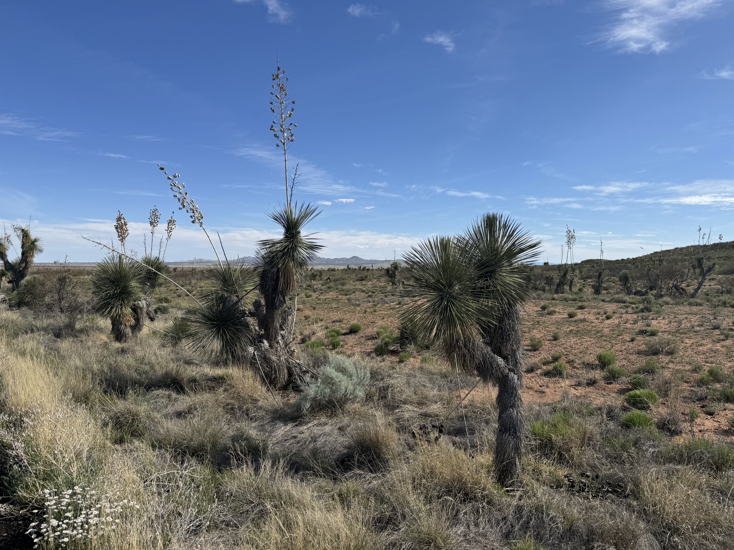
Yucca
The state flower of New Mexico. The habitat of the Soaptree yucca and Faxon yucca, sometimes called Torrey’s yucca,is the Chihuahuan Desert (the largest hot desert in the US).
Note that the Joshua Tree is also a yucca with a habitat mostly in the Mojave Desert but also in the Sonora Desert.
Las Cruses is 124 miles away, too far to cover in a day at this point in my training. I'll wander off the highway at about dusk and find a friendly bunch of desert scrub to call home for the night. I've rewritten my ride plan so today was the first of six days of riding to a rest day in Marfa, Texas, then six more days to my mid-trip break (and Minavet's wedding!) in San Antonio.
I’d love to hear from you. Donate to the ride and send along your words of encouragement and tell me why getting kids outside matters to you.


